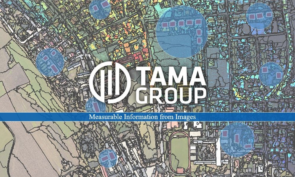
Measurable Information from Images

Python, CNN and OBIA – This is how you extract measurable information from images.
Our Portfolio


Licenses & Services
eCognition for Remote Sensing and Extracting Measurable Information from Images. We offer a tailor-made package that matches the many possibilities of the software.
We have put together application options for different areas.


Digitization for Small & Large Areas
With the WaldCursor, we offer remote sensing and digitization services for areas of any size, enabling environmental monitoring and GPS-accurate recording and transfer of information. This allows for targeted reactions to current developments and the initiation of appropriate measures.


